
Water Shaping Aosta Valley
The Halls of the Saint-Pierre Museum and the Lillaz Waterfalls in Late Summer
Estimated reading time
5
In late August, torrents slow down, alpine lakes stabilize, and the water’s colors become clearer. The best time to understand the story told in Rooms 9-10 of the Museum and to visit the Lillaz Waterfalls in Cogne.
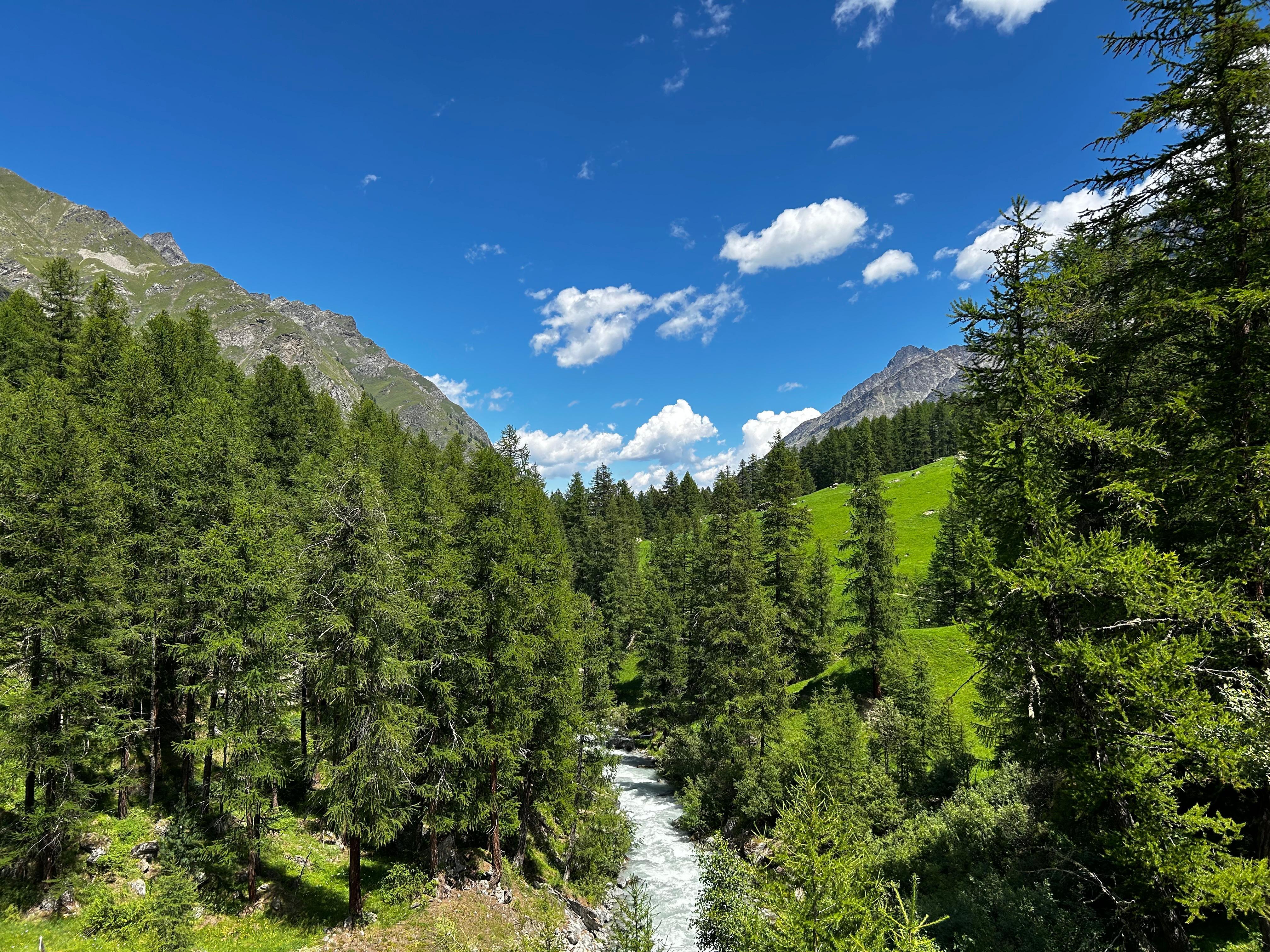
In late August, the Aosta Valley changes its pace. Glaciers continue to release water, but more slowly compared to the peak of the summer thaw. Torrents lose the fury of June, alpine lakes stabilize, and that typical blue-green color of glacial silt (produced by extremely fine particles dragged downstream by glacial erosion) becomes clearer and easier to read. It is the moment when the region’s water system displays its structure with the greatest clarity, before autumn alters its traits once again.
It is also the best time to visit the Efisio Noussan Regional Museum of Natural Sciences in Saint-Pierre and its rooms dedicated to water as a force shaping the Aosta Valley landscape.
Water as a Constructive Force
The landscape of the Aosta Valley, in its current form, is the result of the action of water in all its forms over hundreds of thousands of years. Quaternary glaciers carved the U-shaped valleys we recognize today as the characteristic Aosta Valley landscape, transported rocks for tens of kilometers, and deposited the moraines that still mark the valley floors today. Meltwater then continued the work, eroding and shaping.
Today, that process continues, with different dynamics and speeds compared to the glacial past. The current glaciers of Mont Blanc, Gran Paradiso, Monte Rosa, and Rutor release water that feeds springs, torrents, and alpine lakes, carrying along the sediments that tint the water with those blue-green shades recognizable to anyone traveling through the Aosta Valley’s valleys in summer.
An Extraordinarily Diverse Water System
The Aosta Valley hosts a variety of aquatic environments that few alpine regions can match. From glaciers to high-altitude springs, alpine lakes to waterfalls, peat bogs to marshes, and torrents to valley-floor ponds: each of these environments has its own ecological characteristics, its own distinctive species, and its own role in the alpine water cycle.
Alpine lakes, located between 1,500 and 2,800 meters in altitude, are oligotrophic environments (meaning nutrient-poor, cold, and clear) that host highly specialized aquatic invertebrate communities and, in some cases, populations of brown trout and Arctic char. Their sensitivity to temperature changes and acid deposition makes them valuable indicators of the health status of mountain ecosystems.
Peat bogs are among the rarest and most threatened ecosystems in the region. Formed by the accumulation of organic matter under conditions of poor drainage and abundant moisture, they host specialized plants such as sphagnum mosses, sundews, and certain marsh orchids, serving as natural carbon sinks and filters for surface runoff.
High-altitude torrents, fed directly by melting snow and glaciers, are dynamic environments whose flow varies dramatically throughout the year: peaking in June-July, progressively dropping from August onward, down to minimum winter flows. This seasonal variation has direct consequences on aquatic fauna, which has developed precise adaptations to survive the extreme conditions of alpine streams.
Late Summer: The Most Readable Moment
Unlike June, when high discharge makes torrents roaring and visually spectacular but ecologically chaotic, late August and early September offer more favorable observation conditions for understanding how the Aosta Valley water system works. The flow rate has stabilized, stream beds are more visible, lakes have reached their maximum seasonal temperature, and aquatic ecosystems display their richest composition in terms of species.
It is also the time when water colors are most characteristic: the blue-green of glacial lakes is at its maximum intensity, produced by the combination of slanted light, benthic algae, and suspended silt particles.
Rooms 9-10 at the Saint-Pierre Museum
Rooms 9-10 of the Efisio Noussan Regional Museum of Natural Sciences illustrate the Aosta Valley water system through videos, environmental reconstructions, and multimedia materials that explore the water cycle in the Alps, the role of glaciers as water reserves, and the effects of climate change on mountain aquatic ecosystems. The exhibit provides visitors with the tools to read the Aosta Valley water landscape with fresh eyes, recognizing in the details of a lake, a stream, or a waterfall the geological and ecological processes that generated them.
Where to Go: The Lillaz Waterfalls in Cogne
For those who want to experience firsthand what they learned in Rooms 9-10 of the Museum, the Lillaz Waterfalls, inside the Gran Paradiso National Park, offer a different yet no less interesting experience in late summer compared to the peak season.
The waterfalls are formed where the Urtier torrent, fed by the melting glaciers of Gran Paradiso, cascades down a sequence of stepped drops through a gorge of granite rocks smoothed by erosion. The stepped structure makes the equipped trail leading up along the waterfalls particularly readable from a geological standpoint: each step corresponds to a variation in rock hardness, and each plunge pool is the result of millennia of selective erosion.
In late August, the flow rate is still generous, but the roar is less deafening than in June, and the mist spray is less intense, allowing for a better view of the rock structure and shoreline vegetation. The light is more golden, and the trails are less crowded than in peak season.
The waterfalls can be reached in just a few minutes on foot from the parking lot in Lillaz, a hamlet of Cogne, along a flat, well-marked path running alongside the Urtier stream. The route is accessible to visitors of all ages and fitness levels.
Photo: Archive RAVA